 Dovercourt
Road takes its name from the once-prominent Denison family, whose land
holdings included a stretch of the street. Neither a main thoroughfare
nor a sleepy residential enclave, there's something quintessentially
Toronto about Dovercourt. At various points in its history, the street
seemed on the brink of becoming more developed, particularly when it was
home to a streetcar route, but aside from little hubs of activity at
main intersections (notably Queen, Argyle, College, Bloor and Hallam), it never really happened en masse.
Dovercourt
Road takes its name from the once-prominent Denison family, whose land
holdings included a stretch of the street. Neither a main thoroughfare
nor a sleepy residential enclave, there's something quintessentially
Toronto about Dovercourt. At various points in its history, the street
seemed on the brink of becoming more developed, particularly when it was
home to a streetcar route, but aside from little hubs of activity at
main intersections (notably Queen, Argyle, College, Bloor and Hallam), it never really happened en masse.To the north, Dovercourt was originally home to poor English migrants who lived in shack-like structures spread around what is now Dupont. As industry developed on that street and along Geary Avenue (formerly Main Street) around the turn of the 20th century, Dovercourt Park became a bonafide neighbourhood, the heart of which was located at the intersection of Hallam. Surprisingly, both streets were served by streetcars at the time, and there was arguably even more traffic at the intersection in the 1920s than there is today.
Dovercourt and Argyle, once home to the Ideal Bread Company (now a rather nice condo), also feels like a mini-hub thanks in part to the presence of Luna Cafe. Ditto for the intersection at Foxley, which is home to Julie's Cuban and one of those classic residential Toronto variety stores. I've always liked this stretch of the street for the degree that it speaks to an older version of the city, one in which corner stores and lunch counters could be found scattered in neighbourhoods off main streets.
If there's a stretch of Dovercourt that's been preserved the most over the years, it's to be found between College and Bloor, where stately homes are set back from the road and look pretty much the same as they did in the 1950s (see photo below). It's a shame not to have an old picture of the Matador to share here, but the latest iteration of 466 Dovercourt will retain the iconic sign, so there's no need to get too mournful.
PHOTOS
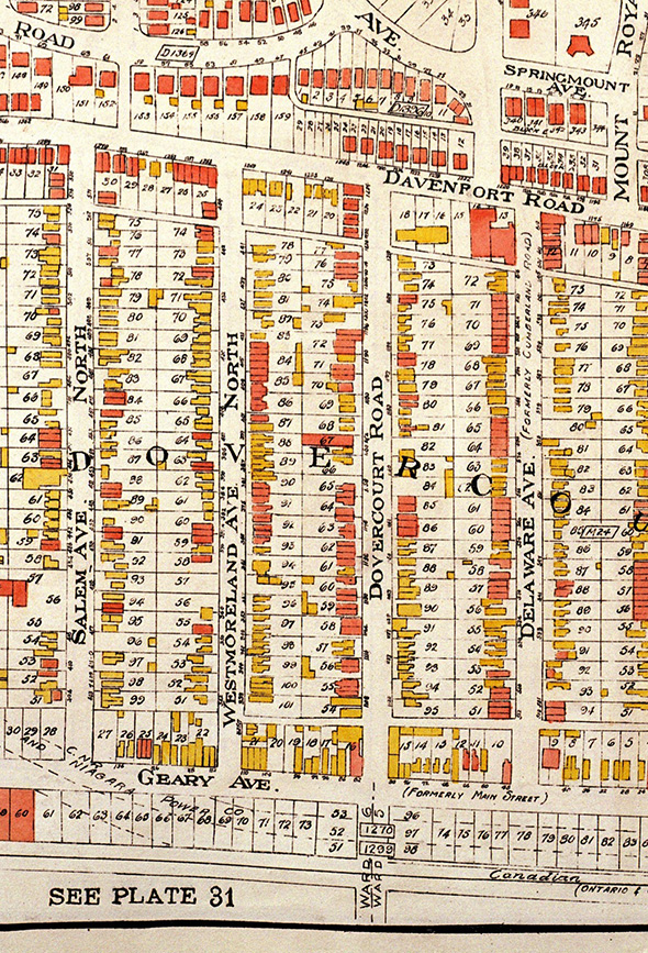 Goad's Atlas, 1924
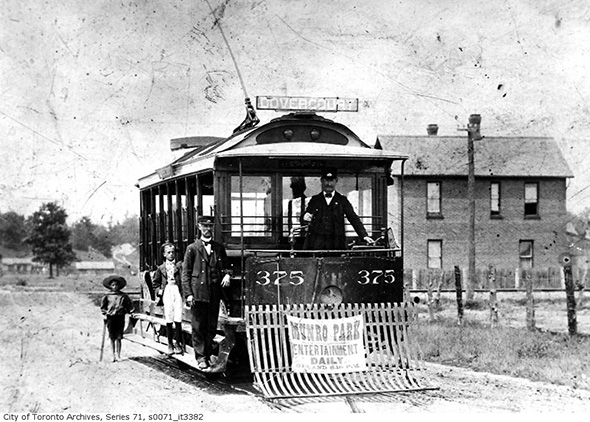
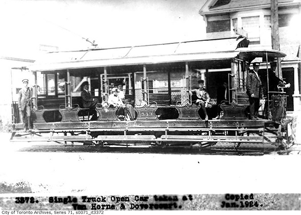 Dovercourt "streetcar" 1899
 Dovercourt looking north to Geary, 1912
 Dovercourt looking north to Geary, 1915
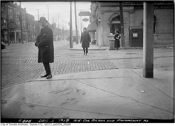 Dovercourt and Bloor looking west, 1919
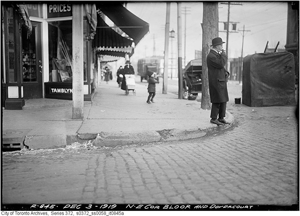 Different angle, 1919
 Northwest corner Dovercourt and College, 1920
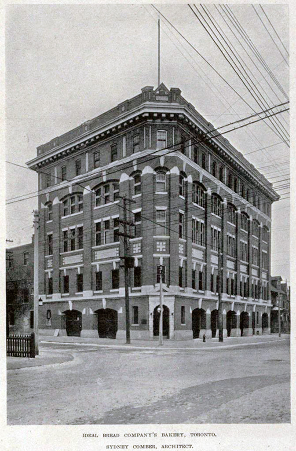 Dovercourt and Argyle, 1920
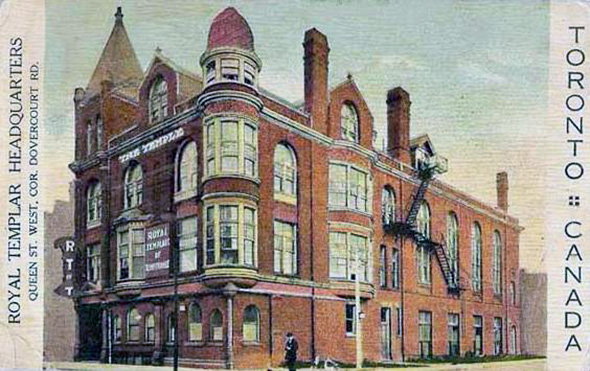 The Great Hall as the Royal Templar Headquarters
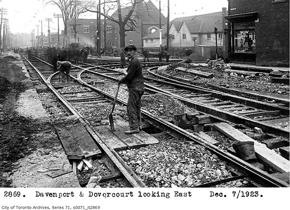 Dovercourt and Davenport (looking east), 1923
 991 Doverourt, 1929
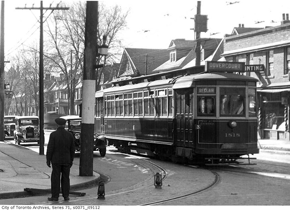 Southeast corner Bloor and Dovercourt, 1932
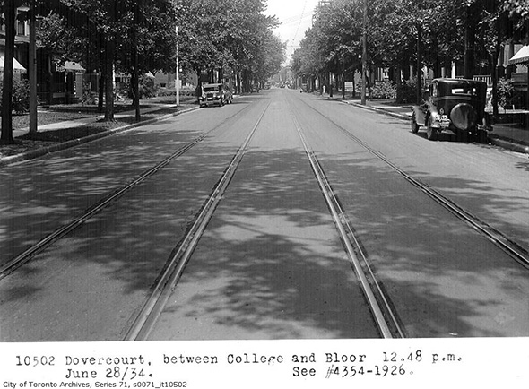 Dovercourt between College and Bloor, 1934
 Dovercourt and Davenport, 1947
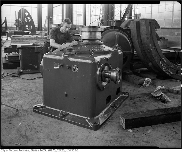 Hamilton Gear at Dovercourt and Dupont, 1957
 Dovercourt and Queen, 1987
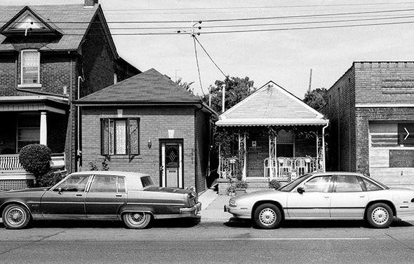 Dovercourt north of Hallam, 1998
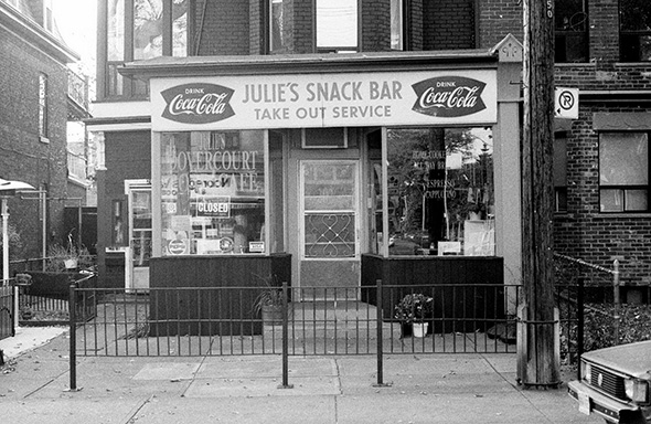 Dovercourt and Argyle, 1998
 Dovercourt north of College, 1998
Please share this
No comments:
Post a Comment