Approaching Toronto from the southwest about a century ago, Roncesvalles Avenue would have been the first well developed north/south strip that one encountered. Despite the expansion and intensification that's taken place in the years that have intervened, the street has somehow managed to retain the feeling of a main drag, like the kind that you find in small towns all across North America.
Bearing in mind that the city of Toronto came to be through a series of annexations of surrounding villages — in this particular case, Brockton and Parkdale — drag-like qualities of this type make perfect sense. Some of our streets really were the primary strips of smaller towns that were eventually subsumed by the big city.
Roncesvalles probably also owes some of this remaining vibe to the fact that it was once a major transportation hub and the entrance point to the city's most popular summer destination, Sunnyside Amusement Park. This was, at a certain point in time, the beginning and end of this side of the city, where people departed for suburbs like New Toronto and Port Credit on the old commuter streetcars or came to get away from the hustle and bustle of downtown.
Moving northward, photos from the 1910s show that the area around the Revue Cinema near Howard Park was much the same as it is today: lined with small businesses and eateries that serviced the residential community that surrounds the street. Many of these buildings still exist, though the Revue is one of the few businesses that has managed survive the long haul (temporary closure aside).
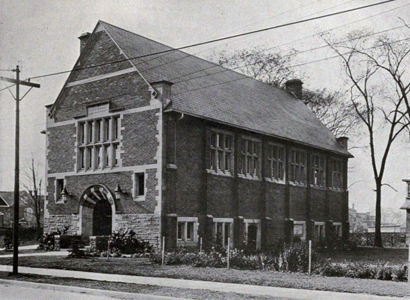
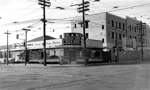
Other landmarks worth noting from the photos below are the long lost Sunnyside GTR station, the old bus terminal (now a McDonald's) at the foot of the street, the Edgewater Hotel (now a plastered-over Day's Inn), the High Park Library (which has aged very well) and the gates to High Park Avenue, which offer a formal introduction to a street that once had a decidedly suburban feel, as Rick McGinnis eloquently points out in a previous post about the area. And don't forget the streetcars. Thanks partially to the presence of the Roncesvalles car house at the bottom of the street, these vehicles are a fixture in the images below.
Although the Polish presence on the street isn't as obvious as it used to be, there's still plenty evidence of the community today, be it through the annual festival or the handful of businesses that still line the street. Alas, this particular aspect of Roncesvalles' history is not as well documented photographically (at least in terms of publicly available images), and so exists as a bit of hole in the collection below.
PHOTOS
Looking south towards Queen in 1909 (Ocean House Hotel in the distance)
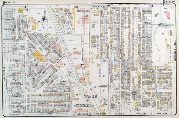
Goad's Atlas, featuring Roncesvalles and Parkdale, 1910
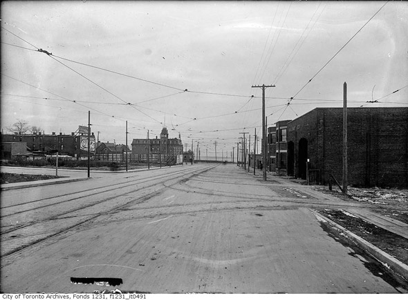
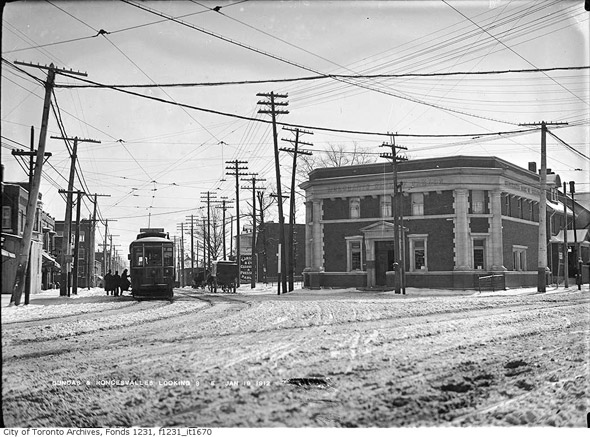 Roncesvalles and Dundas, 1910
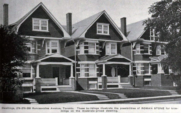
276-280 Roncesvalles, 1910
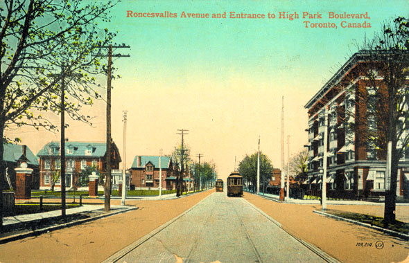 Roncesvalles and High Park, 1914
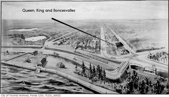
The lay of the land in 1914 (note that Queen ends just beyond Roncesvalles)
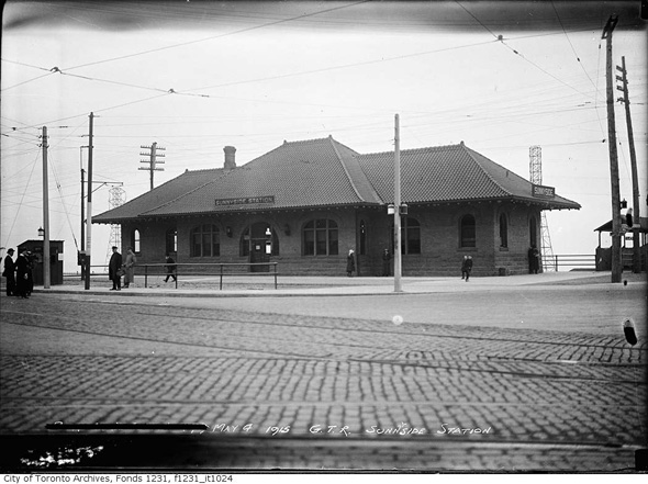 Sunnyside GTR station, 1915
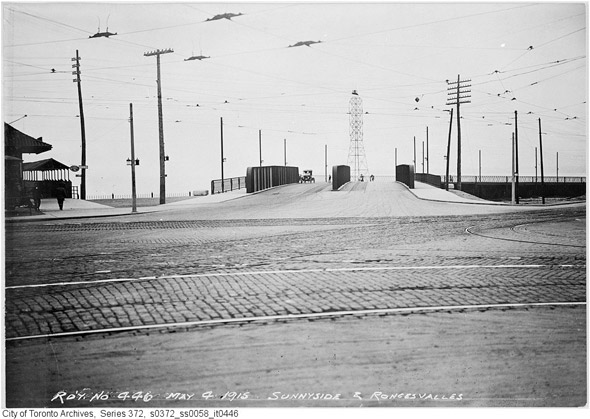
The old Sunnyside bridge, 1915
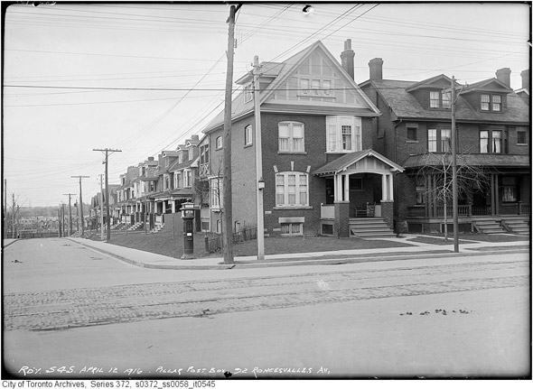
92 Roncesvalles, 1916
228 Roncesvalles, 1917
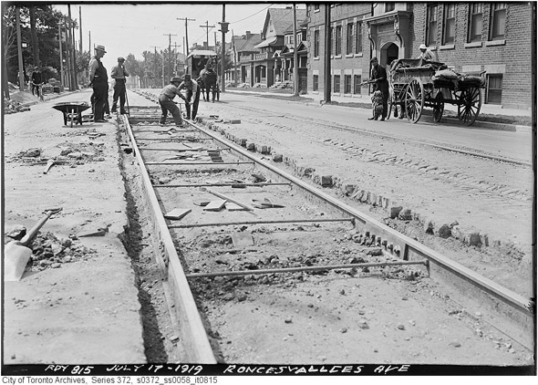
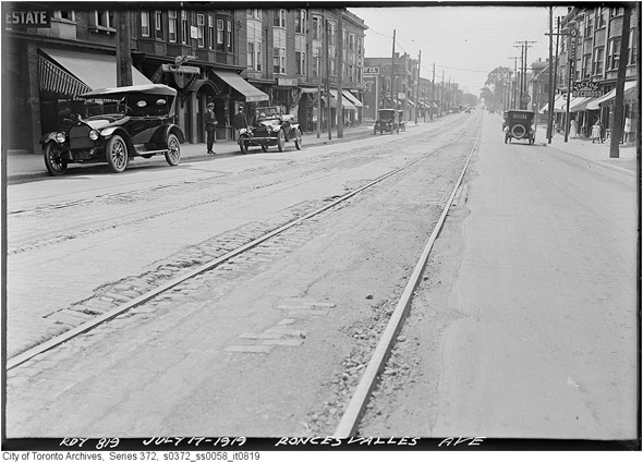
Track work in 1919
South of Howard Park, 1919
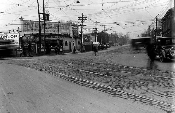
Queen, King and Roncesvalles in 1920
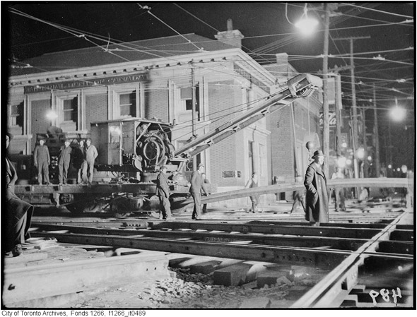
Track work at the foot of Roncesvalles, 1920s
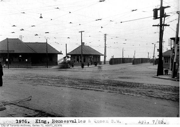
Queen, King and Roncesvalles in 1923
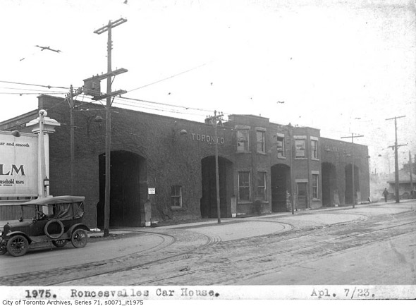 Roncesvalles car house, April 1923 (pre-demolition)
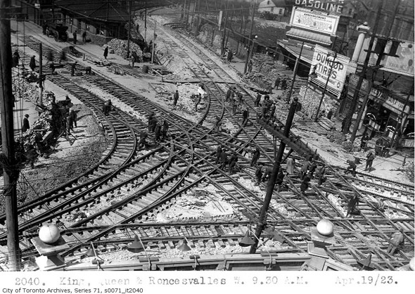
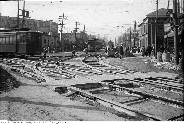
Now that's track work (1923)!
Queen, King and Roncesvalles, 1920s
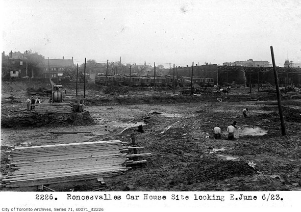
New car house under construction, June 1923
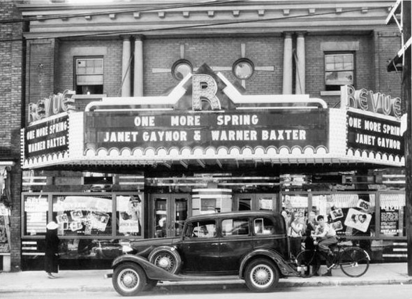
The Revue Cinema in 1935
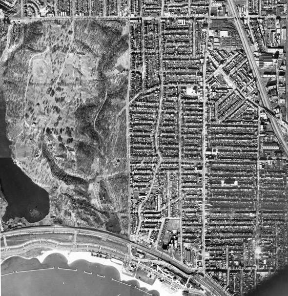
Aerial view, 1937
Queen, King and Roncesvalles, 1939
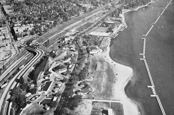 Sunnyside, 1949
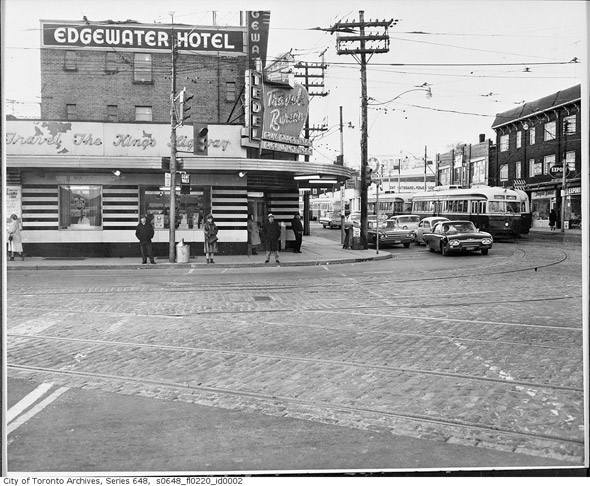
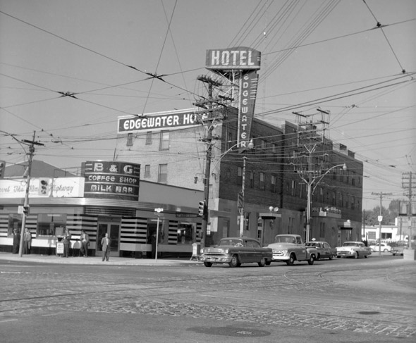 Edgewater Hotel, 1950s
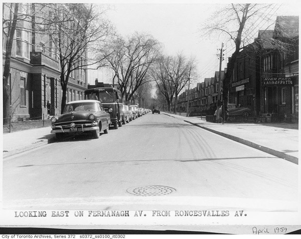
Looking east along Fermanagh from Roncesvalles, 1959
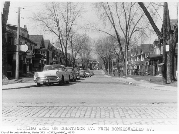
Looking west along Constance, 1959
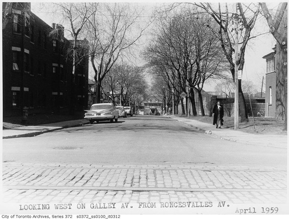
Looking west along Galley, 1959
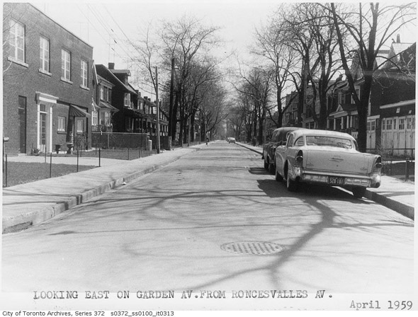
Looking east along Garden, 1959
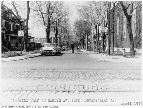
Looking west, 1959
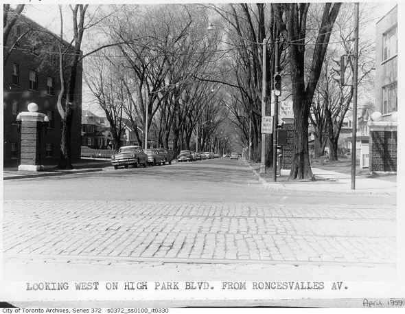
Looking west along High Park Boulevard, 1959
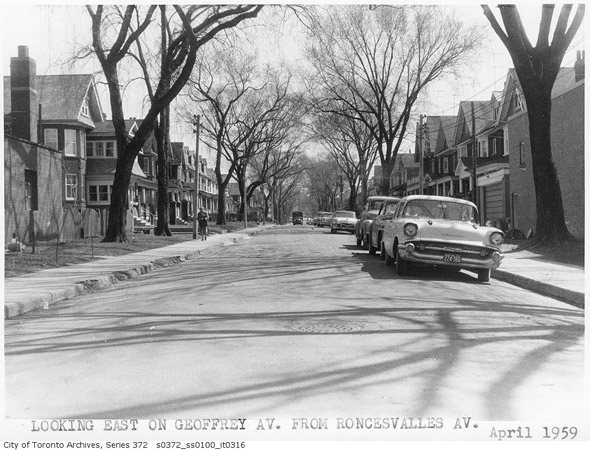
Looking east along Geoffrey, 1959
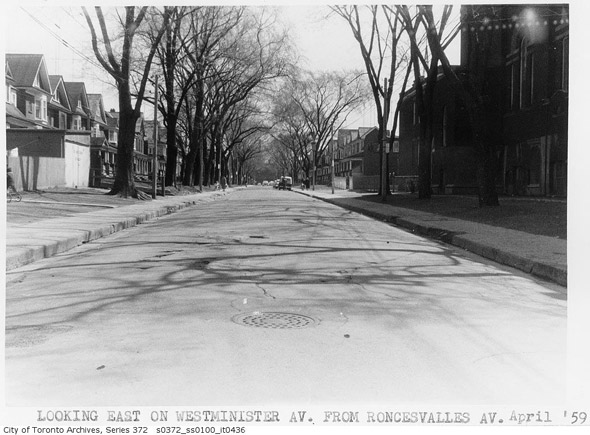
Looking east on Westminster, 1959 (check out the comments section for a cool tidbit on the garage to the left)
 Edgewater Hotel, 1960s
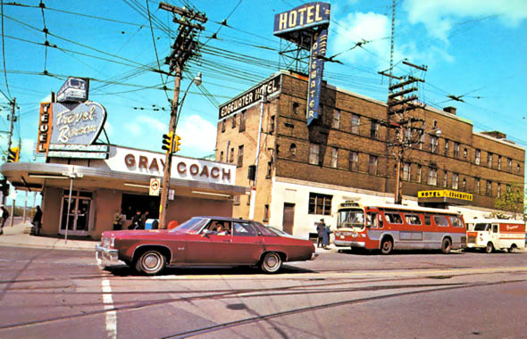 Edgewater Hotel, 1970s
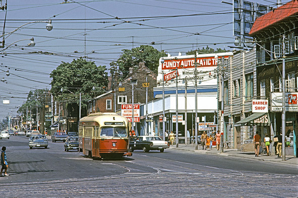
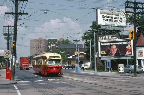 Roncesvalles at Howard Park, 1970s via Chuckman's blog.
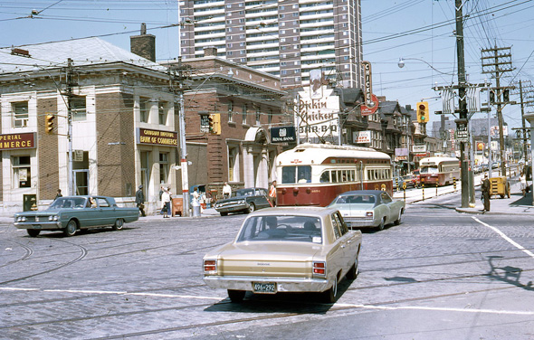
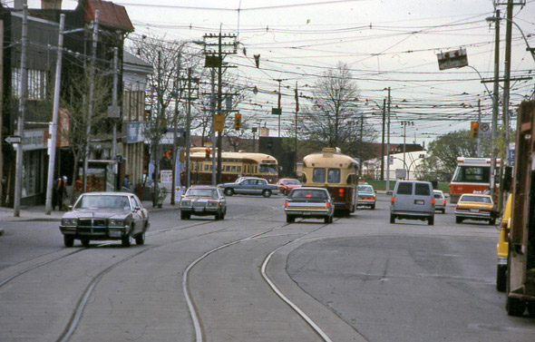
Queen, King and Roncesvalles, 1971 via lindsaybridge.
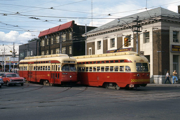
PCC streetcars at Queen, King and Roncesvalles in 1976 via Lou Gerard
 Sunnyside loop, 1980 via Lou Gerard
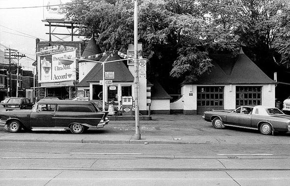
429 Roncesvalles, 1983 (a Joy Oil Station) via Patrick Cummins
Looking south towards the foot of Roncesvalles in 1992 via David Wilson
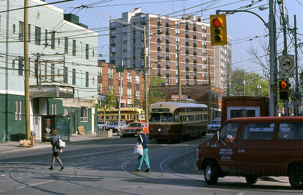
The corner of Queen, King and Roncesvalles in 1992 via David Wilson
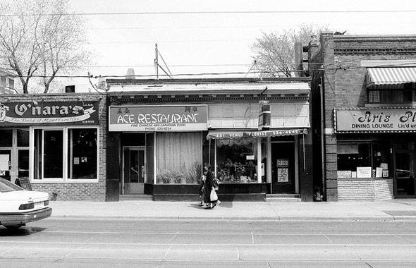
The Ace in 1998 via Patrick Cummins
Photos from the Toronto Archives unless otherwise noted
No comments:
Post a Comment